The origins of HERs
Historic Environment Records originated in the 1920s as a map based system linked to index cards. Sites and Monuments Records (SMRs) were established between the mid 1960s to 1980s, Oxford County Council being the first. They became more widespread in the 1970s and 1980s. A National Monuments Record was set up in 1983 and is now maintained by English Heritage.
From the 1970s onwards these database records were increasingly available on computers. Unfortunately there was no one system in use and many developed on an ad-hoc basis. Developments in the 1990s and more recently have focused on creating guidelines and standards for users of these systems.
The Kent HER
The Kent database was one of the last Sites and Monuments Records to be computerised in 1989. The database is now known as an HER as it includes information on various aspects of Kent’s Historic Environment. This includes information on historic buildings and landscapes not previously included in the old Sites and Monuments Records.
The Historic Environment Record is an extensive collection of information relating to Kent’s heritage. The database contains information about 40,000 archaeological discoveries and 18,000 listed buildings, landscapes, excavations and library sources. The HER also contains more than 6,500 archaeological reports as well as aerial photographs and maps.
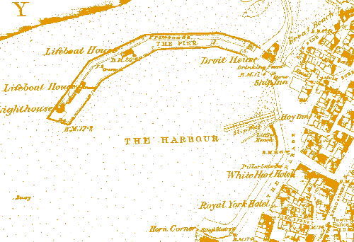
The sites in the Kent HER date from the lower Palaeolithic period (c.450,000 BC) to the present day. These cover a wide range of site types, including Iron Age hill-forts, Cold War bunkers, Roman villas, cement works, airfields, castles, water mills, fish traps, pillboxes and cemeteries.
Some of the sites are still standing while others have been entirely lost. Some have been excavated but others remain a mystery.
Where does the information come from?
New information for the HER comes from various sources including:
• archaeological work carried out as part of the planning and development control process
• original research by local societies, individuals and academic researchers
• accidental discoveries
The HER is a continually growing database and new records are being added all the time.
Who uses the Historic Environment Record?
The Kent HER is available for everyone to use. We want as many people as possible to use the database to find out about heritage sites in their area.
It is used in our work to inform planning and development control so that sites and buildings are treated appropriately during the planning process. The HER is also used for research by academic and amateur researchers, for education, tourism projects and by people interested in their local heritage.
How to obtain Historic Environment Record information.
The best way to obtain HER information is via this website. For all commercial enquiries or for other help please email heritageconservation@kent.gov.uk or telephone 03000 413800
For commercial enquiries there is a charge of £160 for a Re-Use license (all charges exclude VAT). These enquiries will normally be dealt with within seven working days. We reserve the right to charge for unusually large requests of more than 4 square km. In such circumstances requestors should please discuss the charge in advance with the HER team.
